


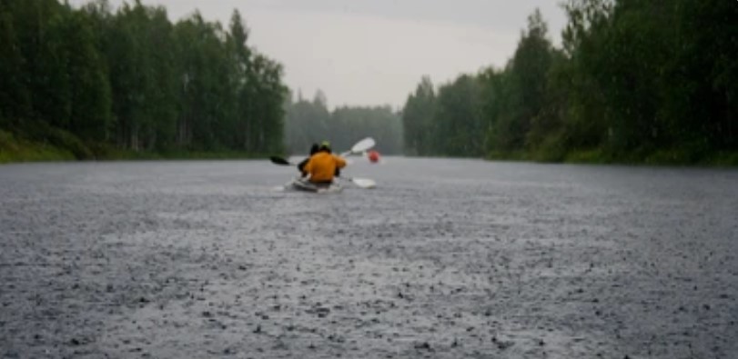
River levels can change quickly during and after a rainstorm. As the runoff continues to drain into the river from ground water, storm sewers and hill runoff. A high river is faster, muddier and often colder than a normal flowing river. You can’t easily see submerged obstructions and fast water means you have less time to make a snap decision when paddling on the water.
Fortunately, you can monitor the river levels in real time on the Chemung River Friends’ website chemungriverfriends.
Click on the “rivers” page in the information bar and scroll down to “live river level data.” This will give you real time river levels at several river gauges along the Chemung, Cohocton and Tioga rivers. Compare those levels with the accompanying safe paddling levels chart (see below). The page also includes weather and river level forecasts and other useful safety information. Keep in mind that water releases from the Tioga-Hammond Dams can also affect river levels. While the river may look smooth, serene and safe on the surface. You can’t see what’s beneath the muddy water.
You should always wear a buckled or zipped life vest when on or near a river. Always take a partner and let someone know about your trip locations and schedule ahead of time. Fast-moving water can make it difficult to safely and easily bring your boat ashore – you may overshoot your landing spot or not be able to land at all. Always consider river conditions, your experience, knowledge of the river and your health and skills.
Best advice:
When the water is high and you’re not sure if you should paddle, you probably shouldn’t.
Safe paddling chart:
- Chemung River at Elmira: 1 to 4 feet ·
- Chemung River at Chemung: 3 to 6 feet ·
- Chemung River at Corning: 15 to 17 feet ·
- Cohocton River near Campbell: 2 to 3 feet ·
- Canisteo River at West Cameron: 5 to 7 feet ·
- Tioga River at Lindley: 4 to 7 feet